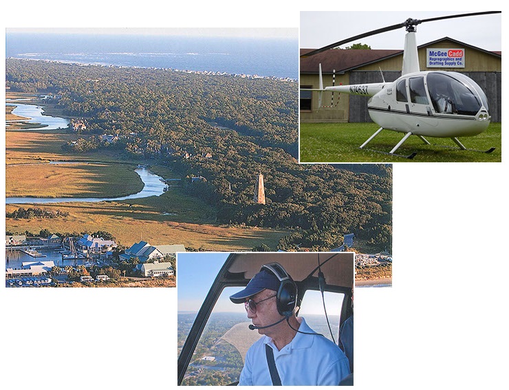
Development Site Selection and Proximity Evaluation
Aerial Encroachment Survey
Beaver Dam identification and location
Marketing Photo work
Should you have other special needs for aerial work not shown, do not hesitate to call.
All imagery can be configured into many formats from reports to full size displays, signage or digital files.
With helicopter flight work, we offer reprographic support services which include mapping and color reproduction at size required. Mapping products such as USGS quadrangle maps can be over-layed with Aerial survey work to reflect current conditions and other topographic / location data required. We offer clear film color overlays, Heavy Gloss or Satin full size prints, lamination and mounting of Aerial work. Work may also be printed on Banner, Metal and a variety of other substrates.